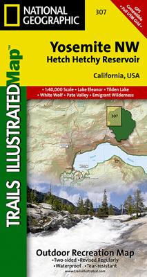
Wandelkaart - Topografische kaart 206 Yosemite National Park | National Geographic
Prachtige geplastificeerde kaart van het bekende nationaal park. Met alle recreatieve voorzieningen als campsites, maar ook met topografische details en wandelroutes ed. Door uitgekiend kleurgebruik zeer prettig in gebruik. Scheur en watervast! Coverage includes Stanislaus National Forest, Emigrant Wilderness, Carson Iceberg Wilderness, Toiyabe National Forest, Hoover Wilderness, Inyo National Forst, Yosemite Wilderness, Sierra National Forest, Ansel Adams Wilderness. Detail on Yosemite Valley and Tuolumne Meadows. Includes UTM grids for use with your GPS unit. Coverage includes Stanislaus National Forest, Emigrant Wilderness, Carson Iceberg Wilderness, Toiyabe National Forest, Hoover Wilderness, Inyo National Forst, Yosemite Wilderness, Sierra National Forest, Ansel Adams Wilderness. Detail on Yosemite Valley and Tuolumne Meadows
16,95


