Productomschrijving
Prachtige geplastificeerde kaart van het bekende nationaal park. Met alle recreatieve voorzieningen als campsites, maar ook met topografische details en wandelroutes ed. Door uitgekiend kleurgebruik zeer prettig in gebruik. Scheur en watervast!
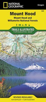
Located just outside of Portland, Mt. Hood is the tallest peak in Oregon, the fourth highest in the Cascade Range, and a premier destination for outdoor enthusiasts. The mountain has six ski areas, the renowned Timberline Lodge located on the southern flank beside the Palmer Glacier, and is part of the 1.0M acre Mt. Hood National Forest. Our detailed Trails Illustrated recreation map of Mt. Hood contains carefully researched trails, campsites, forest service roads, and points-of-interests. Backcountry users will find the UTM and Latitude/Longitude grids as well as other accurate navigation features perfect for exploring the region confidently and safely. Areas included on the map: - Badger Creek, Bull of the Woods, Mount Hood, and Salmon Huckleberry Wilderness Areas. - Newly Legislated Clackamas and Roaring River Wilderness Areas - Clackamas, Collawash, Elkhorn, Roaring River, South Fork Roaring River, White River, Salmon, Eagle Creek, Sandy River, and Fifteen Mile Creek Wild and Scenic Rivers - Pacific Crest and Oregon Trails - South Breitenbush National Scenic Trail - West Cascades and Mount Hood Scenic Byways - Mount Hood National Recreation Area - Opal Creek Scenic Recreation Area - Olallie Lake Scenic Area - Upper Big Bottom Special Protection Area - Oregon State Forests - Santiam and Timothy Lakes - Recreation, Safety, Contact and Wilderness Permit Information - Permit and Information for Climbing Mount Hood