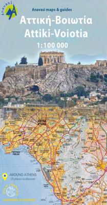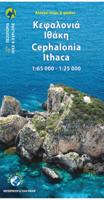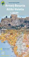
Wegenkaart - landkaart 10 Atiki - Attika | Anavasi
Gebaseerd op topografische kaarten, GPS compatible, gedrukt op watervast en scheurvast papier. Hoogtelijnen met 100 m interval, schaduwkleuren en punten met hoogte geven de topografie van het landschap aan. De kaart kent een UTM grid. Het wegennet wordt aangeduid met verschillende gradaties: grote en kleine wegen, verhard en onverhard. Toeristische bezienswaardigheden staan als zodanig aangeduid zoals thermen, kloosters, berghutten, grotten etc. Namen van steden zowel in het normale schrift als in het Grieks, met een legenda die ook in het Engels is.
11,95

