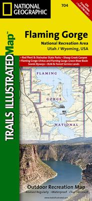
Wandelkaart - Topografische kaart 704 Flaming Gorge National Recreation Area | National Geographic
Prachtige geplastificeerde kaart van het bekende nationaal park. Met alle recreatieve voorzieningen als campsites, maar ook met topografische details en wandelroutes ed. Door uitgekiend kleurgebruik zeer prettig in gebruik. Scheur en watervast! Coverage includes Ashley National Forest; Flaming Gorge National Recreation Area; Eastern Uinta Mountains; Steinaker State Recreation Area; Green River, Wyoming; McKinnon Junction, Dutch John, Dry Fork, Manila and Greendale; Matt Warner, Cedar View and Beaver Meadow reservoirs; and the Red Canyon of the Green River. Includes UTM tick marks for use with your GPS unit.
17,95


