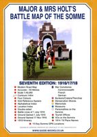
Historische Kaart Major & Mrs Holt's Battle Map of The Somme | Pen and Sword publications
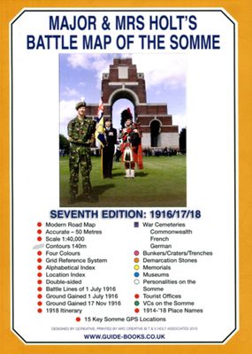
This is the only map available that shows the exact locations of 300 memorials and places of interest on the battlefields of the Somme This Sixth Edition also covers the American and Canadian areas between Amiens and Montdidier. It is double sided in four colours with an overall view on one side and a detailed view on the other, both showing battle lines and ORBAT information There are detailed alphabetical and thematic indexes to all 300 points. Size - The map measures 19.5 inches (49cm) by 28 inches (71cm). It is printed in four colours and is double sided on firm glossy paper. On one side at a scale of 1:70,000 is shown the whole of the Somme battle area from Bullecourt in the north to Amiens in the south and from Doullens in the west to Pyronne in the east. Also on this side are the colour coded indexes and the map of the 1918 sector from Villers Bretonneux to Cantigny. On the other side at a scale of 1:40,000 the battle area mostly, but not exclusively, associat…
9,95

