Productomschrijving
Kaart voor militair erfgoed in West Vlaanderen, zowelvoor WO l als voor WO ll.
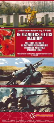
The Western Front in Flanders on a detailed map at 1:100,000 highlighting locations of numerous monuments, cemeteries, front lines and other WWI-related sites, listed in the accompanying panels with, where appropriate, their phone numbers. The map is double-sided but all the main WWI battlefields from the French border to beyond Passendale/Paschendaele are together on one side. The map shows the present-day road and rail networks in the province of West Flanders. Extensive overprint highlights locations of WWI-related sites, indicating whether open to the general public or by appointment only: museums, military cemeteries, war memorials and monuments to the missing soldiers, bunkers and battery remains, etc. Sites in France in the immediate vicinity of the Belgian border are also marked. The overprint also indicates battlefields and fortifications from other periods of history of Flanders, from the Middle Ages to WWI. A small panel with a basic street plan of Ypres/Ieper highlights locations of 22 conflict-related sites including the Menin Gate and the Commonwealth War Graves Commission. The map is accompanied by extensive lists of museums, cemeteries and other sites, with where appropriate, contact details (but unfortunately not cross-referenced to their locations on the map itself). Four small insets show the changing front lines during various stages of WWI, and the map is illustrated by numerous colour photos of mostly WWI-related sites. Map legend and all the relevant text include English. WW1, 1e wereldoorlog, Eerste wereldoorlog WW2, 2e wereldoorlog, Tweede wereldoorlog