Historische Kaart Major & Mrs Holt's Battle Map of Market Garden | Pen and Sword publications
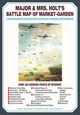
This is the only map of its kind devised and created by Major and Mrs Holt and is used by many guides It shows the locations of 300 memorials and war cemeteries over THE WHOLE OPERATION MARKET-GARDEN AREA It shows the progress of the battle from Leopoldsburg to Eindhoven, Nijmegen, Arnhem and Oosterbeek overlaid on modern roads In four colours, double sided and with 10 inset maps it shows all drop and landing zones Suitable for navigation by car, bicycle or foot Size - The map measures 19.5 inches (49cm) by 28 inches (71cm). It is printed in four colours and is on firm glossy paper. On one side at a scale of 1:180,000 is shown the whole of the Market Garden corridor of operations from Arnhem in the north to Leopoldsburg in the south and from Vught in the west to Overloon in the east. See below for details of the other side. What is Marked on the Map This map is quite unique and no other exists that shows the Market Garden Corridor in such detail. Over 230 memor…
9,95

