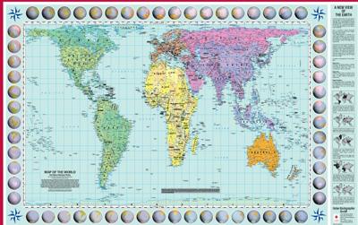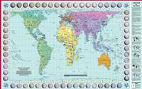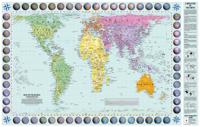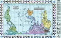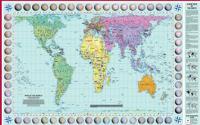
Wereldkaart Map of the world in Peters-Projection 130 x 82 cm - Engels | Huber Verlag

0
Represents countries accurately accordingly to their surfice areas. The british Library declares the Peter Projection Worldmap to one one the most important maps worldwide ever produced. All countries, continents, and oceans are shown in comparable area sizes....

Verkopers met dit product

Verkoper
Bezorging
Prijs
DeZwerver.nl logo
DeZwerver.nl
5,95
31,95

Anderen bekeken ook

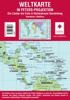
Wereldkaart Peters Projection - Peters Projectie 130 x 82 cm | Huber Verlag
Een bijzondere wereldkaart die gebruik maakt van de Peters Projectie. Hierdoor worden de oppervlaktes correct weergegeven op de kaart. Bekijk de wereld anders!  De landen van de aarde in gebiedsbrede weergave. Peters projectie 1: 63.060 gerolde kaart Formaat: 82,5 x 129,5 cm Schaal: 1: 630 609 475 Arno Peters, een historicus uit Bremen, ontwikkelde voor onze tijd een nieuwe wereldkaart. Trouw aan schaal in gebied, as en positie, reproduceert het nauwkeurig de verhoudingen van de noordelijke en zuidelijke hemisferen. De Peters-wereldkaart is een verfrissende afwijking van de verouderde Eurocentrische kijk die onze kijk op de wereld al 400 jaar beïnvloedt. De Peters-kaart toont elk land in zijn werkelijke gebiedsgrootte en op een direct vergelijkbare basis. The Fidelity Pojection is gebaseerd op het decimale gradennetwerk gecreëerd door Arno Peters. Het verdeelt het aardoppervlak - waarbij de 0-merdian op de gecorrigeerde datumlijn wordt geplaatst - in 100 velden met gelijke breedte en …
31,95
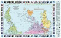
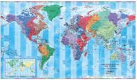
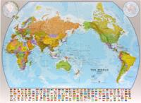
Wereldkaart World pacific-centred wall map, 136 x 100 cm | Maps International
View the world from a different perspective with Maps International's Pacific centred world wall map with flags.    Map details: This Pacific centred wall map shows the world centred along the 150° line of longitude. Instead of parting the map along the Pacific Ocean (as most world wall maps are), this one parts the map along the Atlantic Ocean meaning Europe and the Americas are in separate sides of the map!    Pacific centred world wall map has countries marked in different colours according to international country boundaries. Capital cities (including approximate population size) and hill shading are also shown. Mountain peaks and depths are given on this Pacific centred world wall map. Pacific centred map comes with a panel of country flags displayed on the base of the map.    Map uses: Great for re-learning about world and its geography. Ideal for use in secondary school classrooms and who those wishing to challenge their thinking.   Afwerking: geplastificeerd De wandkaart wor…
37,95

Klanten-reviews van Wereldkaart Map of the world in Peters-Projection 130 x 82 cm - Engels | Huber Verlag

Er zijn nog geen beoordelingen voor dit productBen jij de eerste die een review plaatst?

Meer over Wereldkaart Map of the world in Peters-Projection 130 x 82 cm - Engels | Huber Verlag

Productomschrijving

Represents countries accurately accordingly to their surfice areas.

The british Library declares the Peter Projection Worldmap to one one the most important maps worldwide ever produced. All countries, continents, and oceans are shown in comparable area sizes.

Productinformatie

    Verken gerelateerde categorieën

    Webshop.nl maakt gebruik van cookies. Ga je verder op onze website, ga dan akkoord met het plaatsen van cookies en de verwerking van deze data door ons en vermelde partners.