Wegenkaart - landkaart 3 Nicolson Road 3, South Scotland : Southern Scotland & Northumberland | Nicolson
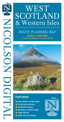
Based on the Ordnance Survey 1/250000 Road mapping. Road Map 3 covers Southern Scotland & Northumberland. Please scroll through the images to see the area of coverage (in white). This sheet covers from just south of Tobermory in the west, right over to Forfar & Arbroath and everything on the Scottish mainland south of there. Features: • Clear road mapping & ferry routes • Index to place names (which the Ordnance Survey version doesn't have) • National & forest parks • Contours and peak heights ISBN 9781912046584 Cover size 133mm wide x 240mm tall Sheet size (when unfolded) 1250mm wide x 952mm tall
12,95

