Wegenkaart - landkaart 2 Peloponnese - Peloponnesos | Anavasi
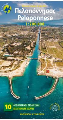
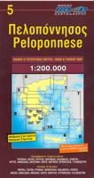
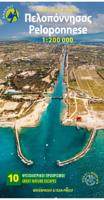
De nieuwe editie van de kaart van de Peloponnesus komt met veel verbeteringen. De grotere schaal maakt het veel leesbaarder en laat gedetailleerde informatie van de kaart zien: Uitgebreid weg- en vestigingsnetwerk. Tal van archeologische sites die voor het eerst op een kaart worden gepubliceerd. Stranden, kamperen, jachthavens, berghutten en de loop van de E4 en de belangrijkste nationale paden 31, 32 en 33. En een innovatie: 10 suggesties voor unieke sites om te bezoeken aan de zijkant van de kaart. Road and touring map of the Peloponnese in scale 1:200 000. On the map find ideas for 10 top nature destinations. Planning a road trip in the Peloponnese? This is the map to take with you. It shows all road categories, to the last dirt road. Every settlement, stating their original name, when known. Plenty of archaeological sites published for the first time on a map. Beaches, camping, marinas, mountain refuges and the course of the E4 and the major national paths 31, 32 and 33. Map corre…
11,95

