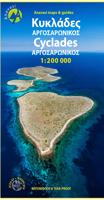
Wegenkaart - landkaart 1 Cyclades - Argosaronic islands | Anavasi
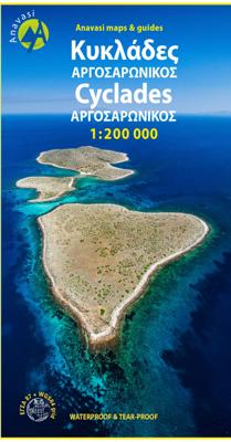
Gedetailleerde tweetalige (Grieks/Engels) topografische wegenkaart van de Cycladen met relief, gedetailleerd wegennet met wegnummers, campings en hutten. Cyclades - Argosaronic islands [R1] is a new map covering the areas of Attica with the Argosaronic islands of Salamina, Aegina, Ydra and Poros and all the Cyclades islands, printed on 2 sides with overlap. A very useful map, especially for island-hoppers, with short text for each island presenting the main monuments, outstanding beaches and hiking trails on each island. Printed on waterproof, polyart paper
11,95

