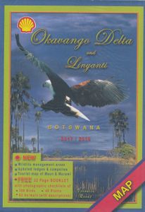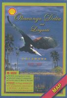
Wegenkaart - landkaart Okavango Delta - Tourist Map of the Okavango De
Zeer bijzondere landkaart van de Okavango Delta en Linyanti. Uitermate handig zijn de GPS coördinaten van de meest belangrijke punten als campings of uitzichtpunten. De kaart is gebaseerd op een luchtfoto, waarbij alle details zijn ingetekend. The map: The map of the Okavango and Linyanti was compiled by using LANDSAT satellite images. The main reason for a tourist map of the area is to indicate the localities of the lodges as well as the wildlife management areas in which they occur. Tourists to the Okavango often visit more than one lodge and this will give them a good idea of where they have been. On the back of the map are enlargements of the different tourist areas, which shows more detail of the landscape. There are no GPS co-ordinates on the Okavango map as all the Wildlife areas consist of private concessions, which are not open to the general public. The roads in the private concessions have also not been indicated as this may mislead the self-driving public, making them think…
17,50

