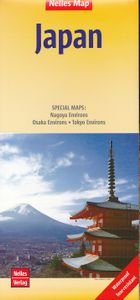
Wegenkaart - landkaart Japan | Nelles Verlag
Goede wegenkaart van Japan. Aan beide kanten bedrukt. Met veel toeristische aanduidingen als nationale parken en culturele bezienswaardigheden. Prima leesbare kaart. The map divides the country north/south with Tokyo shown on both sides. On one side is southern part of Honshu and Kyushu Island, plus the smaller groups of islands including Okinawa and the Sakishima Archipelago shown on separate panels. Insets show the environs of Osaka and Nagoya in greater detail. On the reverse is the northern part of Honshu and Hokkaido, plus an enlargement for the environs of Tokyo. Nagoya Environs 1 : 400.000 Osaka Environs 1 : 400.000 Tokyo Environs 1 : 555.000
11,95


