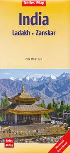
Wegenkaart - landkaart India: Ladakh - Zanskar | Nelles Verlag
Ladakh and Zanskar at 1:350,000 from Nelles including a street plan of Leh, supplementing the publisher’s coverage of the whole of India on five double-sided maps with their slightly smaller size offering a convenient format for use when travelling. The map shows the region’s mountainous topography by contours at 200m intervals with very effective relief shading, plus spot heights and mountain passes. In addition to roads and local cart tracks, trekking trails are marked. Symbols indicate various places of interest including campsites, temples, hot springs and waterfalls, etc. Coverage extends from Kulu in the south to the Baltoro Range and the Nubra Valley in the north, with an inset extending the map westwards to include Srinagar, Jammu and Pathankot. The street plan of Leh shows location of numerous hotels and includes an enlargement for the old town. NEW to Nelles Maps range. 1 : 350,000 scale. Detailed, relief shading clearly shows spot heights and mountain ranges giving a r…
11,95


