Productomschrijving
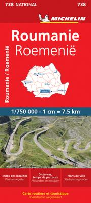
Zoals je van Michelin mag verwachten is deze kaart zeer overzichtelijk en heeft een duidelijk helder kaartbeeld. De kaart geeft uitgebreid toeristische informatie weer. Met register, afstanden en reistijden. Wegen worden naar verschillende klasse ingedeeld en - mooi van Michelin - de interessante mooie routes worden gemarkeerd met een groene streep. Hindernissen voor automobilisten met caravans zijn gemarkeerd: steile hellingen, bergpassen of een anderzins moeilijke route. Bezienswaardigheden als een kasteel, religieus gebouw, ruine of grot is door een symbool goed te vinden. The Michelin national road map of Romania at 1:750,000 scale is best suited to trip & route planning. The map gives comprehensive coverage of national road networks showing major motorways, dual carriageways, national & regional main roads and some smaller local roads. Unsurfaced roads and tracks and some major footpaths are also shown. The map shows useful motoring information for motorways and major roads - including toll sections, numbered interchanges and rest stops. Michelin's selected scenic routes are also highlighted. Distances between major locations are marked along roads, with total distance and several intermediate distances shown. A quick-reference chart of distances & driving times between major locations is also given, as well as a grid-referenced index of principal place names. The map shows latitude and longitude on a WGS84 grid (30' intervals for latitude, 20' for longitude). Clear, easy-to read cartography clearly differentiates different classes of road. Major topography is indicated with slight 3D relief shading, but no contours or other topographic information is shown except mountain peaks. Woodland & forest is marked with green shading, and national parks are highlighted. Built-up urban areas are clearly marked in yellow. Airports, ferries, & motorails are also marked. National borders and administrative divisions are marked. Selected sights, including historic houses, castles & ruins, religious buildings and other places of tourist interest, are shown with symbols This map includes two inset city plans of Bucharest - an overview plan showing main roads at 1;62,000 and a high-scale street plan of the centre at 1:20,000. Another inset map shows Romania's administrative distracts with their names and abbreviations. The map also includes a quick reference panel giving national driving regulations, including speed limits, equipment requirements (e.g. bulb kits, warning triangles) and seatbelt rules. Bacarest, Braov, cluj Napoca, Constana, Craiova, Galai, Iai, Roumanie, Timioara