

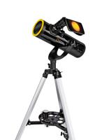
NATIONAL GEOGRAPHIC 76/350 Telescoop met Zonnefilter
Sun, moon, and stars up close - start your astronomy adventure immediately with the mirror telescope with sun filter, smartphone holder, and lots of accessories
89,90
Snel naar
PrijzenProductomschrijving





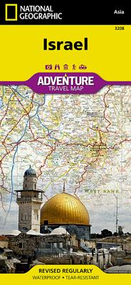
Wegenkaart van Isreal met vermelding van veel bezienswaardigheden, nationale parken en attrakties. Watervast en scheurvast. Juist door deze vermeldingen onderscheidt de kaart zich van andere wegenkaarten.
National Geographic's Israel Adventure Map is designed to meet the unique needs of adventure travelers with its durability and accurate information. This folded map provides global travelers with the perfect combination of detail and perspective, highlighting hundreds of points of interest and the diverse and unique destinations within the country. The map includes the locations of cities and towns with a user-friendly index, plus a clearly marked road network complete with distances and designations for major highways, main roads, and tracks and trails for those seeking to explore more remote regions. The front side of the Israel map details the northern region of the country, from its border with Lebanon to the north, to Syria and Jordan to the east and the Mediterranean Sea to the west. The reverse side of the map details Israel’s southern region, bordering Jordan to the east, Egypt and the Mediterranean Sea to the west, and the Gulf of Aqaba to the southernmost point. Every Adventure Map is printed on durable synthetic paper, making them waterproof, tear-resistant and tough—capable of withstanding the rigors of international travel. Key Features: