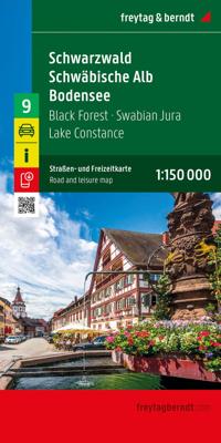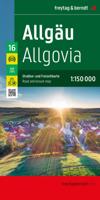
Wegenkaart - landkaart 16 Allgäu | Freytag & Berndt
Een aangepaste versie van de Duitse provinciekaarten van Freytag & Berndt: duidelijk veel meer toegespitst op de toeristische aspecten van de streek. Deze bijzonder gedetailleerde Freytag & Berndt Wegenkaart van Allgäu is aan één kant geprint en heeft een schaal van 1:150.000. Op deze kaart staan o.a. campings, toeristische wegen en bezienwaardigheden aangegeven. Nu met een digitaal boekje en index - toegang tot alle informatie snel en gemakkelijk op uw mobiele telefoon! With the Allgau road map on a scale of 1:150,000, holidaymakers traveling by car, motorbike or caravan can easily find their way around. The dense road network is depicted precisely, distances and tourist destinations in the Allgau are shown on the map. Information about the Allgäu car map Scale 1:150,000 Tourist information Campsites and pitches Top Tips Location register with postal codes Downtown map Format: 124 x 86 cm The best car map for the Allgau Whether hiking, cycling, water sports …
14,95

