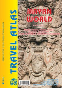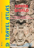
Wegenatlas Travel Atlas Mayan World | ITMB
Wegenatlas op diverse schaal voor het gebied van de Maya's in Mexico, Guatemala, Belize, Honduras en El Salvador. Mayan World Travel Atlas - ITMB The Mayas occupied the Yucatan Peninsula and spread inland through modern-day Belize, Guatemala, and Honduras all the way to El Salvador. This atlas covers all these areas: Mexico from Tabasco and Chiapas, through the Yucatan provinces of Campeche, Quintana Roo and Yucatan (1:500,000), all of Belize at 1:250,000, all of Guatemala at 1:470,000, all of Honduras at 1:750,000, and all of El Salvador at 1:250,000. Each known Mayan site is marked and named (there are more than 400) in magenta City maps of Antigua Guatemala, Guatemala City, San Salvador, Tegucigalpa, and Belize City are included in this comprehensive atlas. Legend : International Airports Roads by classification,Time Zone Border,Points of interest Historic site, Hotels, Museums,Golf course,Restaurants,Caves/Grotto,Lighthouses, Gas Stations, Waterfalls, Hotsprings,Hospitals, Hist…
16,50

