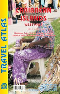
Wegenatlas Travel Atlas Caribbean Island West Half | ITMB
Wegenatlas voor de westelijke Caraïbische eilanden - verschillende schalen : Bahamas, Turks- en Caicoseilanden, Cuba, Kaaimaneilanden, Jamaica, Dominikaanse Republiek, Puerto Rico. Met inzetjes van Freeport, Nassau, Havana, Varadero, Georgetown, Kingston, Port-au-Prince, Santo Domingo, San Juan The Caribbean is a particularly difficult part of the world to map effectively. It is a combination of larger islands in the west and a string of small islands in the east. Some can be shown as separate maps, but others are too small (or too lacking in market appeal) to be mapped adequately as folded paper maps. This atlas covers the Bahamas and the Turks and Caicos Islands in the north with Cuba, the Cayman Islands, Jamaica, the Dominican Republic, and Puerto Rico in scales ranging from 1:18,000 for Puerto Rico to 1:600,000 for Cuba The atlas is the same size as all ITM atlases (8''x5'' or 21x13.5cm) and has a straight spine edge with title for displaying spine outwards on store shelves, if d…
16,50

