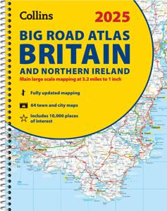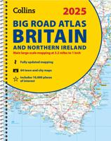
Wegenatlas Big Road Atlas Britain and Northern Ireland 2025 | A3 | Rin
Grote wegenatlas, a3-formaat in ringband. The ultimate 3.2 miles to 1 inch scale large-format, spiral-bound road atlas of Britain, featuring Collins’ popular and well established road mapping, and designed for exceptional clarity and ease of use. The atlas has a wide range of urban area maps at even larger scale and 64 detailed town centre street plans. This fully updated road atlas covers the whole of Britain with each scale of mapping colour-coded for ease of use. The smallest scale maps are great for long distance route planning and the street plans help you locate your final destination. Main features: Easy to use, clear road maps at a scale of 3.2 miles to 1 inch of England, Wales and Southern Scotland. Northern Scotland is shown at 5 miles to 1 inch Route planning section including maps at a scale of 15.8 miles to 1 inch, motorway services information and a handy distance calculator 22 urban area approach maps at 1 mile to 1 inch which clearly show the best rou…
20,95

