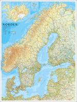
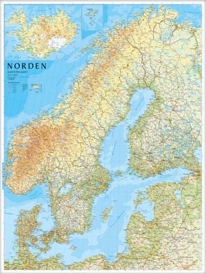
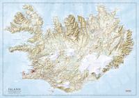
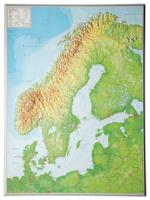
Wandkaart Scandinavië & Ijsland | 75 x 100 cm | Norstedts

0

Verkopers met dit product

Verkoper
Bezorging
Prijs
DeZwerver.nl logo
DeZwerver.nl
5,95
37,95

Anderen bekeken ook

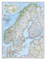
Wandkaart Scandinavië en Ijsland, 60 x 77 cm | National Geographic
National Geographic Wall Maps offer a special glimpse into current and historical events, and they inform about the world and environment. Offered in a variety of styles and formats, these maps are excellent reference tools and a perfect addition to any home, business or school. There are a variety of map options to choose from, including the world, continents, countries and regions, the United States, history, nature and space.
31,95
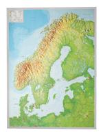
Wandkaart - Reliëfkaart Scandinavië met voelbaar 3D reliëf 77 x 55 x 2 cm | GeoRelief
De uitgever van de kaart is de bekende Duitse uitgever GeoRelief GbR. Deze topografische kaart van Scandinavië heeft een hoge kwaliteit met prachtige kleuren  (engelse versie). De kaart bevat de namen van grote steden, spoorwegen, wegennet, de namen van bergketens en internationale luchthavens. Gemaakt van een hoge kwaliteit kunststof. Extreem duurzaam. Met hoogwaardige licht gestructureerde aluminium lijst van 1,5 cm breed. Our relief map of Scandinavia on a scale of 1:2,900,000 and an elevation of the elevations by a factor of 10, presents this yearning destination for nature lovers, anglers, boaters, and outdoor enthusiasts vividly, in detail and a lovingly designed look.
134,95
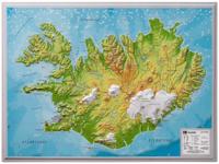
Wandkaart - Reliëfkaart IJsland met voelbaar 3D reliëf 42 x 30 cm | GeoRelief
Prachtig vormgegeven wandkaart van IIsland met reliëf. Uitgevoerd in stevig kunststof is IJsland vanzelfsprekend een land dat zich bij uitstek leent voor een 3D kaart: zo komen de bergmassieven, maar ook de dalen zeer goed tot uiting. De kaart is een mooie herinnering aan een bijzondere trekking of wandeltocht.  Product: a 3D topographical map with colored graphic relief and hill shading and color feature which are derived from high resolution terrain models. Content: Landscape relief, hydrographic network city names, main railway system, motorway network, federal highways, mountain names, elevations, international airports Scale: 1 / 1,4 mio Dikte van de kaart: 14 mm
27,95

Klanten-reviews van Wandkaart Scandinavië & Ijsland | 75 x 100 cm | Norstedts

Er zijn nog geen beoordelingen voor dit productBen jij de eerste die een review plaatst?

Meer over Wandkaart Scandinavië & Ijsland | 75 x 100 cm | Norstedts

Verken gerelateerde categorieën

Webshop.nl maakt gebruik van cookies. Ga je verder op onze website, ga dan akkoord met het plaatsen van cookies en de verwerking van deze data door ons en vermelde partners.