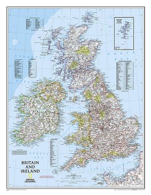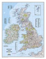
Wandkaart Britain and Ireland - Groot Brittannië en Ierland 60 x 76 cm | National Geographic | National Geographic
0
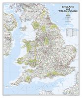
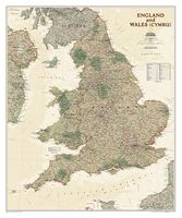
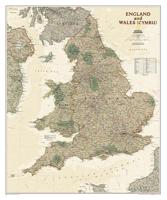
This classic-style map of England and Wales shows political boundaries, major highways and roads, cities and towns, airports, and other geographic details. Thousands of place-names and exact borders are carefully researched by National Geographic’s map researchers and editors ensuring the utmost accuracy....
Klanten-reviews van Wandkaart Britain and Ireland - Groot Brittannië en Ierland 60 x 76 cm | National Geographic | National Geographic
Er zijn nog geen beoordelingen voor dit productBen jij de eerste die een review plaatst?
Meer over Wandkaart Britain and Ireland - Groot Brittannië en Ierland 60 x 76 cm | National Geographic | National Geographic
Productomschrijving
This classic-style map of England and Wales shows political boundaries, major highways and roads, cities and towns, airports, and other geographic details. Thousands of place-names and exact borders are carefully researched by National Geographic’s map researchers and editors ensuring the utmost accuracy.