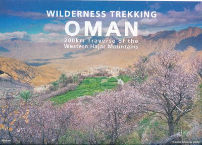
Wandelkaart Wilderness Trekking Oman | Gilgamesh
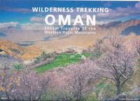
This map is a practical addition to the guide for hiking in the Western Hajar, which is the western portion of the main mountain range in the Sultanate of Oman. The best walking weather in Oman is from mid-November to March. The traverse follows the spine of the mountains in a point-to-point walk taking sixteen days. It consists of eight one-day walks, two two-day walks and one four-day walk. There is a road intersection with a village or hotel between each of these eleven sections making it practical to walk sections rather than the full traverse. The track climbs to the highest accessible peak in the country at 2999m and finishes in remote dry valleys, called wadis, where impregnable cliffs have precluded road construction and electricity transmission. This has preserved the Arabian mountain lifestyle that has existed for centuries. This traverse is for hikers who are competent with GPS navigation, as only six of the sixteen day tracks are marked. There are two shorter options, …
19,50

