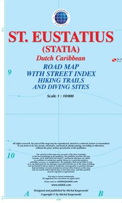
Wandelkaart - Wegenkaart - landkaart St. Eustatius | Kasprowski Maps
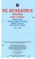
Bijzonder gedetailleerde kaart (1:10.000 !) van alleen het eiland St. Eustatius. Zowel de wegen als ook de wandelpaden staan er op vermeld. Stranden, interessante plekken en bovendien de meeste duikplakken staan met diepte helder weergegeven op de kaart. This first and only complete road and street map with a street index of the Dutch Caribbean island of Saint Eustatius (Statia), ( Scale 1 : 10 000 ) renders roads and streets with their names and locates hiking trails and diving sites. The map is sold folded, measuring 4 7/8" x 8 7/8" ( 12.5 cm x 22.5 cm ), and is designed for easy opening and refolding. Its full unfolded format is 26 3/8" x 35" ( 67 cm x 89 cm ). Designed for travelers, this excellent map has unsurpassed coverage of the island, and its extensive information and depth of detail fit a broad range of interests. The map has hill shading, three levels of roads (footpaths, secondary roads, and main roads) and symbols representing a large number of physical features. …
19,95

