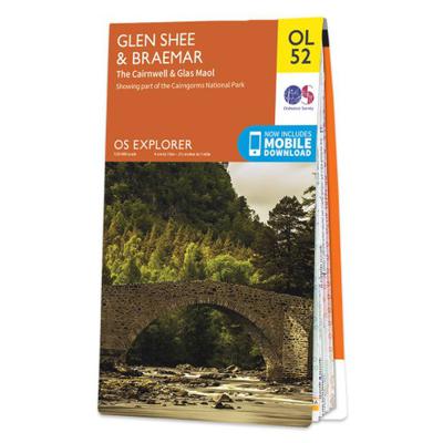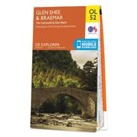
Wandelkaart - Topografische kaart OL52 OS Explorer Map Glen Shee & Braemar | Ordnance Survey
Discover Glen Shee, less than two hours’ drive from all of Scotland’s major cities, yet a place of otherworldly beauty as its name, which translates to ‘the fairy glen’, attests. Climb the Cairnwell and Glas Maol, one of twelve munros in this part of the Cairngorms National Park which includes some of Scotland’s highest peaks. Enjoy the skiing based in Glen Shee or enjoy angling Visit Braemar in the Grampian Mountains, home to a world-famous annual Highland Games Walk, hike, cycle or climb along the Cateran Trail along Shee Water to Spittal of Glenshee and along the River Ardle, following trackways and drove roads used by ancient cattle thieves OS Explorer Maps: 1:25 000 scale (4 cm to 1 km – 2½ inches to 1 mile). Great for walkers, hikers, cyclists, families, dog walkers, and horse riders. Includes roads, rights of way, permissive paths and bridleways, plus essential visitor information. Free digital download included. Other Ordnance Survey Explorer maps of the Cairngorms inc…
19,50

