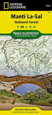
Wandelkaart - Topografische kaart 703 Manti La-Sal National Forest | National Geographic
Prachtige geplastificeerde kaart van het bekende nationaal park. Met alle recreatieve voorzieningen als campsites, maar ook met topografische details en wandelroutes ed. Door uitgekiend kleurgebruik zeer prettig in gebruik. Scheur en watervast! Coverage includes Manti-La-Sal National Forest; Dark Canyon Wilderness/Primitive Area; Natural Bridges, New Mexico; Monticello, Blanding, Fry Canyon, Blue Mountains, Woodenshoe and Hammond canyons; Indian Creek and Recapture Lake.
17,95


