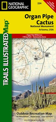
Wandelkaart - Topografische kaart 224 Organ Pipe Cactus National Monument | National Geographic

0
Prachtige geplastificeerde kaart van het nationaal park. Met alle recreatieve voorzieningen als campsites, maar ook met topografische details en wandelroutes ed. Door uitgekiend kleurgebruik zeer prettig in gebruik. Scheur en watervast!   This Trails Illustrated topographic map for Organ Pipe Cactus National Monument, straddling southern Arizona, ...

Alle aanbiedingen van dit product

Sorry, dit product is momenteel niet beschikbaar

Klanten-reviews van Wandelkaart - Topografische kaart 224 Organ Pipe Cactus National Monument | National Geographic

Er zijn nog geen beoordelingen voor dit productBen jij de eerste die een review plaatst?

Meer over Wandelkaart - Topografische kaart 224 Organ Pipe Cactus National Monument | National Geographic

Productomschrijving

Prachtige geplastificeerde kaart van het nationaal park. Met alle recreatieve voorzieningen als campsites, maar ook met topografische details en wandelroutes ed. Door uitgekiend kleurgebruik zeer prettig in gebruik. Scheur en watervast!   This Trails Illustrated topographic map for Organ Pipe Cactus National Monument, straddling southern Arizona, and northern Sonora, Mexico, is the perfect recreational map for this beautiful Sonoran desert wilderness.   The map includes the entire Organ Pipe Cactus national monument area, with detailed topographic information. Included on the map are the Ajo Range, the Ajo Mountain Drive, Arch Canyon, Bates Mountains, Cipriano Hills, the Puerto Blanco Mountains, and much more. Includes UTM grids for use with your GPS unit.

Productinformatie

    Verken gerelateerde categorieën

    Webshop.nl maakt gebruik van cookies. Ga je verder op onze website, ga dan akkoord met het plaatsen van cookies en de verwerking van deze data door ons en vermelde partners.