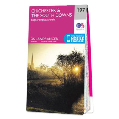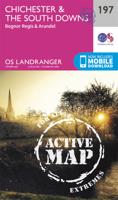
Wandelkaart - Topografische kaart 197 Landranger Active Chichester / The South Downs | Ordnance Survey
Zeer goede detailkaart met topografische ondergrond. Kleurgebruik is goed over nagedacht: bijzonder goed leesbaar en helder kaartbeeld. Hierop zijn toeristische symbolen van bezienswaardigheden ingetekend, daarnaast staan bijvoorbeeld campings en jeugdherbergen vermeld en - voor wandelaars het belangrijkst - alle right of way paden en Lange afstands Wandelpaden zijn er op te vinden. De ideale kaart voor het wandelen in Engeland, Wales of Schotland. De kaarten zijn te gebruiken met GPS (UTM OSGB36), de legenda is in het Engels, Frans en Duits. Plaatsen op deze kaart: Chichester, Bognor Regis, Arundel, Littlehampton, Havant, Emsworth, Horndean, Midhurst, Petersfield, Hawkley, Liss, Milland, Furnhurst, Kirdford, Rogate, South Harting, Petworth, Billingshurst, Pullborough, Ducton, Clanfield, Bury, Storrington, Clanfield, Singleton, Stoughton, Mid Lavant, Slindon, Houghton, Barnham, Bosham, Middleton-on-Sea, Sidlesham, East Wittering, Hayling Island, Selsey Bill.
25,95

