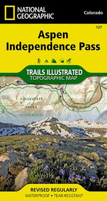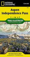
Wandelkaart - Topografische kaart 127 Trails Illustrated Aspen, Independence Pass | National Geographic
Prachtige geplastificeerde kaart van het bekende nationaal park. Met alle recreatieve voorzieningen als campsites, maar ook met topografische details en wandelroutes ed. Door uitgekiend kleurgebruik zeer prettig in gebruik. Scheur en watervast! Beautiful waterproof and tear-resistant topographical hiking map of a well-loved National Park, with campsites and walking routes clearly marked. Coverage includes White River, San Isabel and Gunnison national forests. Maroon Bells Snowmass, Hunter Fryingpan, Mt. Massive, Collegiate Peaks and Spruce Creek wilderness areas. Aspen and Twin lakes. Roaring Fork River, Lake and Lincoln creeks. 14ers: Mt. Elbert, Mt. Massive, Castle and La Plata peaks. Willis, Fryingpan and Evergreen lakes. Taylor, Midway, and Independence passes. Ski Areas: Aspen and Buttermilk. 10th Mountain Huts: Tagert Hut, Wilson Hut, Barnard Hut, Markely Hut, McNamara Hut. Includes UTM grids for use with your GPS unit and Colorado Game Management Unit (GMU) boundaries.
16,95

