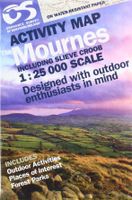
Wandelkaart The Mournes | Ordnance Survey Ireland
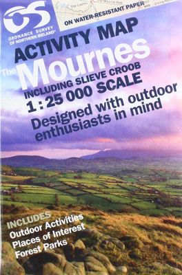
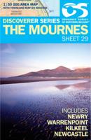
From the rugged granite peaks of the mountains to the picturesque coastline below, the Mournes region is an Area of Outstanding Natural Beauty. This guide map has information about climbing, rambling or relaxing in the area. The 1:25,000 scale paper map is for outdoor enthusiasts and provides a detailed guide for many outdoor activities and highlights local amenities and services such as filling stations and bus stops. The map includes Slieve Croob, the Murlough Nature Reserve and Castlewellan Forest Park. A map for everyone, from the experienced hill walker or rock climber to the casual rambler, from the bird watcher or fisherman to the family out for a picnic. The Mournes in detail - tracks, cliffs, climbs, the Wall, etc. Contouring at 10 -metre intervals showing clearly the impressive relief of the uplands...sweeping down to the sea via the scenic drives and forests to boating and fishing. OSNI activity maps are double sided and printed on water resistant paper. Features:…
14,95

