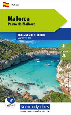
Wandelkaart - Fietskaart Mallorca | Kümmerly & Frey
Outdoor map for hiking, or for cycling. This map indicates all the possibilities for your hobbies. Digital mapping of high quality printed on waterproof and indich paper. Contour line. Indication of peaks, valleys, types of vegetation etc. The hiking trails and mountain bike paths are highlighted. Another strong point, you can download your free map on your smartphone. With the exact GPS location on the map, you always know where you are exactly. Legend in English and German.
13,50

