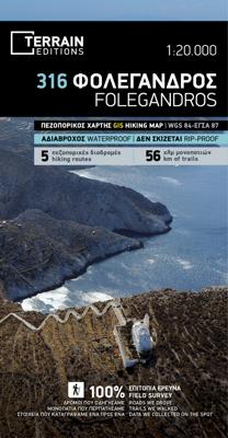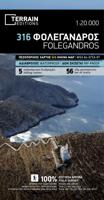
Wandelkaart 316 Folegandros | Terrain maps
Gedetailleerde wegenkaart en wandelkaart met alle kleine wegen, wandelpaden, hoogtelijnen en toeristische informatie aangegeven. Alle tekst is tweetalig in Engels en Grieks en de waterproof kaart is geschikt voor gebruik met GPS. This is a great map because: First and foremost, it’s the only existing GIS map of Folegandros, which makes it the only truly accurate and GPS compatible map of the island. It comes in the detailed scale of 1:20,000, showing everything with great clarity, and it is made with data collected 100% through field survey. The entire trail network of Folegandros is shown for the first time, with impeccable accuracy. All trails are measured in kilometers, so you can estimate the duration of your hike. On the back side, the island’s 5 best hikes are presented in detail. These are also distinctly labeled on the map so you can easily locate them. It is printed on Polyart material, making it totally waterproof and rip-proof. You can fold it and unfold it a hundred…
11,95

