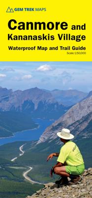
Wandelkaart 06 Canmore & Kananaskis Village | Gem Trek Maps
This map covers some of the most popular terrain for hikers and mountain bikers in Kananaskis Country - Bow Valley Provincial Park, the Canmore area, the Smith-Dorrien/Spray Lakes area south to Mount Shark trailhead, Barrier Lake, and the Kananaskis Village area from Ribbon Creek south to Galatea Lakes trailhead. Updated trails on this sixth edition include those on both sides of the Bow Valley, including the Highline Trail and its connectors on the south side of Highway 1, and the Benchlands trails on the north side of Highway 1. The new snowshoe trails in the Ribbon Creek area have also been added. And for those of you who have been asking, the relief shading is back, and the map is printed on waterproof material. Other classic trails covered on this map include Grassi Lakes, Yamnuska, Ha Ling, Lady Macdonald, Barrier Lake Lookout, Mt. Allen via Centennial Ridge (the highest maintained trail in the Canadian Rockies), Ribbon Falls and Ribbon Lake, Lillian and Galatea lakes, Karst…
18,95


