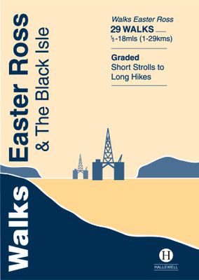
Wandelgids Walks Easter Ross and the Black Isle | Hallewell Publications

0
This guide includes coastal walks on the two large headlands north of Inverness and routes through the hills and broad straths to the west.  Walks range from 0.5 miles to 18 miles (1-29km).  Routes include: Portmahomack to Tarbat Ness, Ben Wyvis and Fortrose to Avoch.  ...

Verkopers met dit product

Verkoper
Bezorging
Prijs
DeZwerver.nl logo
DeZwerver.nl
2,95
5,95

Anderen bekeken ook

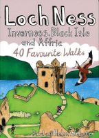
Wandelgids Loch Ness, Inverness, Black Isle and Affric | Pocket Mountains
Handige compacte wandelgids met 40 dagwandelingen. Deze gids bevat kleine kaartjes en leuke uitgebreide informatie over wat er langs de route te zien is. Goede wandelkaarten zijn echter we noodzakelijk voor deze tochten: de Ordnance Survey explorer maps of Landanger maps zijn zeer geschikt.   A guide to 40 favourite walks around Loch Ness, Inverness, Black Isle and Glen Affric. Loch Ness, with its legendary monster, is the most famous of all lochs. It holds more water than all the lakes of England and Wales combined and the countryside around it features an equally great variety of walks, with more waymarked trails and easy routes suitable for families than many other parts of the Highlands. Further north lies the magnificent Glen Affric - Scotland's most beautiful glen.   This is a wonderful area of the Highlands for walkers, having the highest mountains north of the Great Glen but also some splendid lower-level and forest walks. To the east is the fertile Black Isle, packed with cha…
10,95
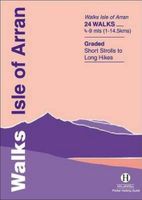
Wandelgids Isle of Arran | Hallewell Publications
Rewalked and updated in 2015, Walks Isle of Arran features 24 walks on the mountainous island of Arran in the Firth of Clyde. Known as `Scotland in miniature', the island provides a fine range of coastal, moorland, woodland and hill walks. The 24 walks featured range from 0.75 miles to 9 miles (1-14.5km). Routes include: Goatfell from Brodick, Brodick Country Park, Cock of Arran, Machrie Moor Stone Circles and a path over the twin peaks of Holy Island. The guide is part of a popular series of A6 pocket walking guides which describe routes which are suitable for walkers of all abilities and to suit all tastes. Route descriptions are accompanied by 2-colour sketch maps. The guides are illustrated with line illustrations, and will provide walkers with a good introduction to what each area covered has to offer.  
5,95
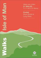
Wandelgids Walks Isle of Man | Hallewell Publications
The Isle of Man is a Crown Dpendency in the Irish Sea, equidistant from the UK and Ireland and is a terrific walking destination. Though the island is only 32 miles/51km long, it contains a wealth of different landscapes and walking types (moorland hills, coastal cliffs, woodland, farmland, sand dunes and beaches). There is a good network of signposted paths including a 102 mile/164km coastal path (Raad ny Foillan) and handsome towns and villages besides. This new guide features walks ranging from 1.5 - 11 miles (2.5 - 18kms) - highlights include the climb up Snaefell and the sea cliffs of Bradda Head and Spanish Head. This guide is part of a popular series of A6 pocket walking guides which describe routes which are suitable for walkers of all abilities and to suit all tastes. Route descriptions are accompanied by 2-colour sketch maps. The guides are illustrated with line illustrations, and will provide walkers with a good introduction to what each area covered has to offer.
5,95
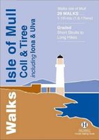
Wandelgids Isle of Mull, Coll and Tiree | Hallewell Publications
Rewalked and revised in 2015, Walks Isle of Mull, Coll & Tiree including Iona & Ulva includes walks on the Inner Hebridean island of Mull and the nearby islands. Mull is typified by spectacular coastal scenery and fine hill climbs, while the other islands are lower and gentler in character. The 29 walks featured range from 1 mile to 10.5 miles (1.6-17km). Routes on Mull include: Ben More, Carsaig Arches and two walks from Tobermory. The guide also features walks on the marvellous island of Ulva, two fine walks on Iona plus routes on the rugged island of Coll and the wide sand beaches of Tiree. Now on its 3rd edition, this guide is part of a popular series of A6 pocket walking guides which describe routes which are suitable for walkers of all abilities and to suit all tastes. Route descriptions are accompanied by 2-colour sketch maps. The guides are illustrated with line illustrations, and will provide walkers with a good introduction to what each area covered has to offer.  
5,95
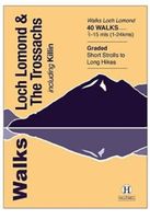
Wandelgids Walks Loch Lomond & The Trossachs | Hallewell Publications
The area covered by this guide (much of it now a National Park) is one of the most popular walking districts in Scotland, and its hills, lochs, glens and woodlands provide an enormous range of routes within a small area.  Walks range from 0.5 miles to 15 miles (1-24km).  Routes include hill climbs such as Ben More & Stob Binnein, Ben Ledi, Ben A’an, The Cobbler and Ben Lomond, plus a number of shorter walks around the towns of Killin, Callander and Aberfoyle, routes by Lochs Katrine and Lomond and sections of the West Highland Way.  Previously published as Walks The Trossachs, the guide has been rewalked and the area covered expanded to inlcude west Loch Lomond.
5,95
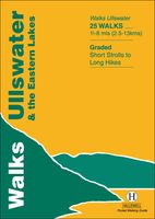
Wandelgids Ullswater and the Eastern Lakes | Hallewell Publications
Rewalked and updated in 2016, Walks Ullswater & the Eastern Lakes features walks in The Lake District - the famous area of spectacular peaks and lakes in the north-west of England. This guide covers the eastern part of the district, with most of the routes clustered around Ullswater. The routes included are largely hill climbs, plus some lower lakeside routes. The 25 walks featured range from 1.5 miles to 8 miles (2.5-13km). Routes include: Brothers Water, Angle Tarn and walks from Patterdale and Glenridding. Part of a popular series of A6 pocket walking guides that describe routes which are suitable for walkers of all abilities and to suit all tastes. Route descriptions are accompanied by 2-colour sketch maps. The guides are illustrated with line illustrations, and will provide walkers with a good introduction to what each area covered has to offer.  
5,95
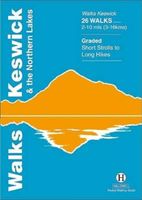
Wandelgids Keswick and the Northern Lakes | Hallewell Publications
Rewalked and updated in 2021 - Walks Keswick & the Northern Lakes features walks in The Lake District - the famous area of spectacular peaks and lakes in the north-west of England. This guide covers the northern part of the area. Many of the walks included are near the town of Keswick, with others in Borrowdale and by Buttermere and Crummock Water. They range in nature from serious hill climbs to gentler, lower-level routes. The 26 walks featured range from 2 miles to 10 miles (3-16km). Routes include: Skiddaw, Cat Bells & Derwent Water, Hay Stacks and a circuit of Buttermere. Now in its 4th edition, Walks Keswick is part of a popular series of A6 pocket walking guides which describe routes which are suitable for walkers of all abilities and to suit all tastes. Route descriptions are accompanied by 2-colour sketch maps. The guides are illustrated with line illustrations, and will provide walkers with a good introduction to what each area covered has to offer.  
5,95
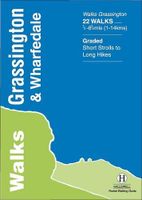
Wandelgids Grassington and Wharfedale | Hallewell Publications
The Yorkshire Dales National Park - an area of rolling green hills, dramatic limestone features and quaint villages - has five main dales (valleys). Walks Grassington & Wharfedale covers Wharfedale - containing the villages of Grassington and Kettlewell - plus the town of Skipton. In the north the walks run by the riverside or climb onto the grassy hills; in the south the rock changes from limestone to sandstone and there are routes through the narrow wooded valley north of Castle Bolton or onto the heather moors to either side. The 22 walks featured range from 0.5 miles to 8.5 miles (1-14km). Routes include: Buckden Loop, a circuit from Kettlewell via Starbotton and Moor End, Grassington to Burnsall, Bolton Abbey & The Strid and Skipton Woods. Part of a popular series of A6 pocket walking guides which describe routes which are suitable for walkers of all abilities and to suit all tastes. Route descriptions are accompanied by 2-colour sketch maps. The guides are illustrated with line …
5,95

Klanten-reviews van Wandelgids Walks Easter Ross and the Black Isle | Hallewell Publications

Er zijn nog geen beoordelingen voor dit productBen jij de eerste die een review plaatst?

Meer over Wandelgids Walks Easter Ross and the Black Isle | Hallewell Publications

Productomschrijving

This guide includes coastal walks on the two large headlands north of Inverness and routes through the hills and broad straths to the west.  Walks range from 0.5 miles to 18 miles (1-29km).  Routes include: Portmahomack to Tarbat Ness, Ben Wyvis and Fortrose to Avoch.  

Verken gerelateerde categorieën

Webshop.nl maakt gebruik van cookies. Ga je verder op onze website, ga dan akkoord met het plaatsen van cookies en de verwerking van deze data door ons en vermelde partners.