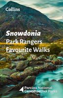
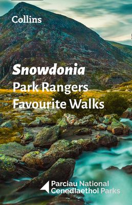
Wandelgids Park Rangers Favourite Walks Snowdonia | Collins

0
Compacte wandelgids met 20 wandelingen geselecteerd door park rangers en met duidelijke beschrijvingen en routekaartjes.   Walking guide to the Snowdonia National Park, with 20 best routes chosen by the park rangers. Each walk varies in length from 2 to 10 km and can be completed in less than 4 hours.   20 best routes chosen and written by Natio...

Verkopers met dit product

Verkoper
Bezorging
Prijs
DeZwerver.nl logo
DeZwerver.nl
2,95
11,50

Anderen bekeken ook

Wandelgids Park Rangers Favourite Walks Snowdonia | Collins
Compacte wandelgids met 20 wandelingen geselecteerd door park rangers en met duidelijke beschrijvingen en routekaartjes.   Walking guide to the Snowdonia National Park, with 20 best routes chosen by the park rangers. Each walk varies in length from 2 to 10 km and can be completed in less than 4 hours.   20 best routes chosen and written by National Park rangers   Walks from 2 to 10km Detailed description for each walk with highlights clearly marked on the map along with an accompanying map and photographs General information about the National Park plus basic advice on walking
11,50
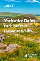
Wandelgids Park Rangers Favourite Walks Yorkshire Dales | Collins
Compacte wandelgids met 20 wandelingen geselecteerd door park rangers en met duidelijke beschrijvingen en routekaartjes.   Walking guide to the Yorkshire Dales National Park, with 20 best routes chosen by the park rangers. Each walk varies in length from 2 to 10 km and can be completed in less than 4 hours.   20 best routes chosen and written by National Park rangers   Walks from 2 to 10km Detailed description for each walk with highlights clearly marked on the map along with an accompanying map and photographs General information about the National Park plus basic advice on walking
11,50
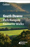
Wandelgids Park Rangers Favourite Walks South Downs | Collins
Compacte wandelgids met 20 wandelingen geselecteerd door park rangers en met duidelijke beschrijvingen en routekaartjes.   Walking guide to the South Downs National Park, with 20 best routes chosen by the park rangers. Each walk varies in length from 2 to 10 km and can be completed in less than 4 hours.   20 best routes chosen and written by National Park rangers   Walks from 2 to 10km Detailed description for each walk with highlights clearly marked on the map along with an accompanying map and photographs General information about the National Park plus basic advice on walking
11,50
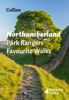
Wandelgids Park Rangers Favourite Walks Northumberland | Collins
The perfect companions for exploring the National Parks. Walking guide to the Northumberland National Park, with 20 best routes chosen by the park rangers. Each walk varies in length from 2 to 10 km and can be completed in less than 4 hours.   20 best routes chosen and written by National Park rangers Walks from 2 to 10kmDetailed description for each walk with highlights clearly marked on the map along with an accompanying map and photographsGeneral information about the National Park plus basic advice on walking This and the Northumberland National Park Pocket Map (ISBN: 9780008462703) are the perfect companions for exploring this superb walking area of the North East.  
11,50
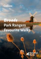
Wandelgids Park Rangers Favourite Walks Broads | Collins
The perfect companions for exploring the National Parks. Walking guide to the Broads National Park, with 20 best routes chosen by the park rangers. Each walk varies in length from 2 to 10 km and can be completed in less than 4 hours.   20 best routes chosen and written by National Park rangers Walks from 2 to 10kmDetailed description for each walk with highlights clearly marked on the map along with an accompanying map and photographsGeneral information about the National Park plus basic advice on walking This and the Broads National Park Pocket Map (ISBN: 9780008439156) are the perfect companions for exploring this superb walking area of East Anglia.
11,50
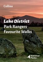
Wandelgids Park Rangers Favourite Walks Lake District | Collins
Walking guide to the Lake District National Park, with 20 best routes chosen by the park rangers. Each walk varies in length from 2 to 10 km and can be completed in less than 4 hours.   20 best routes chosen and written by National Park rangers   Walks from 2 to 10km Detailed description for each walk with highlights clearly marked on the map along with an accompanying map and photographs General information about the National Park plus basic advice on walking This and the Lake District National Park Pocket Map (ISBN: 9780008462673) are the perfect companions for exploring this superb walking area of Northwest England.
11,50
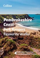
Wandelgids Park Rangers Favourite Walks Pembrokeshire Coast | Collins
The perfect companions for exploring the National Parks. Walking guide to the Pembrokeshire Coast National Park, with 20 best routes chosen by the park rangers. Each walk varies in length from 2 to 10 km and can be completed in less than 4 hours.   20 best routes chosen and written by National Park rangers Walks from 2 to 10kmDetailed description for each walk with highlights clearly marked on the map along with an accompanying map and photographsGeneral information about the National Park plus basic advice on walking This and the Pembrokeshire Coast National Park Pocket Map (ISBN: 9780008439163) are the perfect companions for exploring this superb walking area of West Wales.
11,50
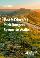
Wandelgids Park Rangers Favourite Walks Peak District | Collins
The perfect companions for exploring the National Parks. Walking guide to the Peak District National Park, with 20 best routes chosen by the park rangers. Each walk varies in length from 2 to 10 km and can be completed in less than 4 hours.   20 best routes chosen and written by National Park rangers Walks from 2 to 10kmDetailed description for each walk with highlights clearly marked on the map along with an accompanying map and photographsGeneral information about the National Park plus basic advice on walking This and the Peak District National Park Pocket Map (ISBN: 9780008439217) are the perfect companions for exploring this superb walking area of England.  
11,50
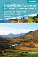
Wandelgids Snowdonia: North - Low-level and easy walks | Cicerone
This guidebook describes 30 low level and easy walks that are suitable for all abilities. The hikes covered are in the northern part of Snowdonia National Park, close to Conwy, Betws-y-Coed, Llanberis and Porthmadog. Most of the walks take around two hours, with others ranging from two to six hours.   Each walk has an accompanying Ordnance Survey 1:25,000 or 1:50,000 map showing the route, easy to follow route descriptions and information on distance, time, ascent, refreshments and where to park. The guide also includes more general advice on walking in the area, historical and flora & fauna information, and facts about all the points of interest seen on each walk.   In this part of Wales, neolithic settlements and Roman ruins stand beside the medieval castles of Welsh Princesses and the modern remnants of the mining industry. Myths and legends abound, and many walks relate to the stories of King Arthur and Merlin, Anfanc and Welsh fairies   Steden en Dorpen Conwy, Betws-y-Coed, Llanb…
13,95
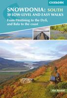
Wandelgids Snowdonia: South - Low-level and easy walks | Cicerone
Guidebook describing 30 walks in Snowdonia, Wales. Routes are mostly low level and on clear paths and showcase the region's beautiful scenery and rich history and culture. Part of a 2-volume set, this southern volume includes Trawsfynydd, Bala, Dolgellau, Machynlleth, the Harlech Coast and the valleys of the Mawddach and Dyfi. Through 30 day walks ranging from 3km to 18km, this guide offers opportunities for walkers of all abilities to explore the lowlands, moorland and estuaries of Snowdonia National Park. The second of two volumes to low-level and easy walking in Snowdonia, this guide covers the southern region between Llan Ffestiniog and Machynlleth. Other centres include coastal towns of Harlech, Barmouth and Aberdyfi, and lakeside settlements of Trawsfynydd and Y Bala.   Famous for its northern mountains, the Snowdonia National Park also features an expansive coastline of sandy beaches and wildlife-rich estuaries. Inland, the landscape showcases mossy-banked rivers, gorges and th…
13,95

Klanten-reviews van Wandelgids Park Rangers Favourite Walks Snowdonia | Collins

Er zijn nog geen beoordelingen voor dit productBen jij de eerste die een review plaatst?

Meer over Wandelgids Park Rangers Favourite Walks Snowdonia | Collins

Productomschrijving

Compacte wandelgids met 20 wandelingen geselecteerd door park rangers en met duidelijke beschrijvingen en routekaartjes.   Walking guide to the Snowdonia National Park, with 20 best routes chosen by the park rangers. Each walk varies in length from 2 to 10 km and can be completed in less than 4 hours.   20 best routes chosen and written by National Park rangers  
  • Walks from 2 to 10km
  • Detailed description for each walk with highlights clearly marked on the map along with an accompanying map and photographs
  • General information about the National Park plus basic advice on walking

Productinformatie

    Verken gerelateerde categorieën

    Webshop.nl maakt gebruik van cookies. Ga je verder op onze website, ga dan akkoord met het plaatsen van cookies en de verwerking van deze data door ons en vermelde partners.