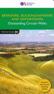
Wandelgids 84 Pathfinder Guides Berkshire, Buckinghamshire and Oxfords
Wandelgids van een deel van Engeland. Deze gids bevat 28 dagwandelingen, variërend van korte tochten tot pittige dagtochten. De bijbehorende kaarten zijn uitstekend: men heeft de topografische kaarten van Ordnance Survey gebruikt waarop de route is ingetekend. Daarnaast praktische informatie over de wandeling en wat beschrijvingen van het gebied. This all-new Pathfinder® Guide covering the ceremonial counties of Berkshire, Buckinghamshire and Oxfordshire features 28 outstanding circular walks across all three counties, offering more wonderful Pathfinder® routes in the south-central Midlands between the Cotswolds (PF 6 Cotswolds) and the Chilterns (PF 25 Thames Valley and Chilterns). In this welcome addition to the Pathfinder® series, walks range from Banbury in the north to Newbury in the south and, west to east, from Milton-under-Wychwood to Virginia Water. Follow brand-new rambles exploring the Chilterns, the Thames Valley, the North Wessex and Berkshire Downs, the Kennet valley, the…
18,50


