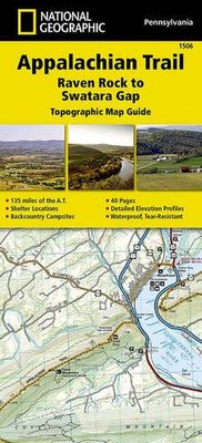
Wandelgids 1506 Topographic Map Guide Appalachian Trail - Raven Rock to Swatara Gap | National Geographic
Wandelgids/wandelatlas met weinig tekst, maar goede kaarten van een gedeelte van de Appalachian Trail. The Raven Rock to Swatara Gap Topographic Map Guide makes a perfect traveling companion when traversing the southeastern Pennsylvania section of the Appalachian Trail (A.T.). The map follows the ridges of the Appalachian Mountains, crosses the 12-mile wide, agriculturally rich Cumberland Valley, and weaves in and out of suburbia. This section of trail, which is notoriously rocky, is rich in history with traces of early industry—charcoal furnaces, railroads, and coal mining. Scale 1/63 360 (1 cm = 633 m). 1 inch = 1 mile. This topographic Map Guide is printed on a waterproof, tear-resistant paper. A full UTM grid is printed on the map to aid with GPS navigation. Each A.T. Topographic Map Guide includes detailed topographic maps at a detail of 1 inch = 1 mile. Each page is centered on the A.T. and overlaps with the adjacent pages so there is little chance of getting lost. Along…
16,95


