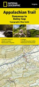
Wandelgids 1503 Topographic Map Guide Appalachian Trail - Damascus to
Wandelgids/wandelatlas met weinig tekst, maar goede kaarten van een gedeelte van de Appalachian Trail. The Damascus to Bailey Gap Topographic Map Guide makes a perfect traveling companion when traversing the southwest Virginia section of the Appalachian Trail (A.T.). The A.T. in southwest Virginia travels through a culturally and historically rich area that includes fertile farmland, long, wooded ridges, and the highest mountains in the state. While the Mt. Rogers high country, just east of Damascus, is very popular with visitors, hikers can find excellent opportunities for solitude farther north on their way to the New River and Bailey Gap. Scale 1/63 360 (1 cm = 633 m). 1 inch = 1 mile. This topographic Map Guide is printed on a waterproof, tear-resistant paper. A full UTM grid is printed on the map to aid with GPS navigation. Each A.T. Topographic Map Guide includes detailed topographic maps at a detail of 1 inch = 1 mile. Each page is centered on the A.T. and overlaps with th…
16,95


