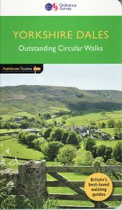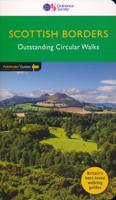
Wandelgids 15 Pathfinder Guides Yorkshire Dales | Ordnance Survey
Wandelgids van een deel van Engeland. Deze gids bevat 28 dagwandelingen, variërend van korte tochten tot pittige dagtochten. De bijbehorende kaarten zijn uitstekend: men heeft de topografische kaarten van Ordnance Survey gebruikt waarop de route is ingetekend. Daarnaast praktische informatie over de wandeling en wat beschrijvingen van het gebied. Met GPS referenties voor de waypoints bij elke route. Met informatie over parkeren, goede pubs en bezienswaardigheden langs de route. A revised Pathfinder walking guide to the Yorkshire Dales, with 28 circular walks that explore the most scenic parts of the Dales. With walks for all ages and abilities this guide covers Swaledale, Ribblesdale and the Yorkshire Dales National Park. All walks have GPS waypoints, Ordnance Survey maps and beautiful photography.
18,50

