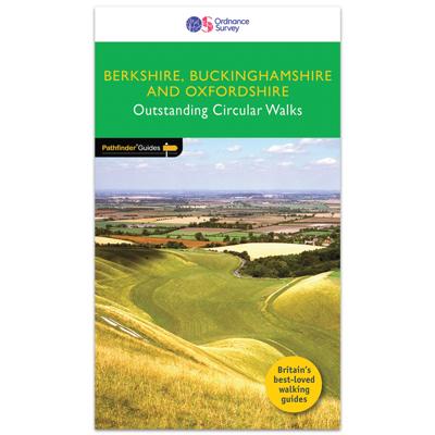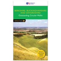
Wandelgids 084 Pathfinder Guides Berkshire, Buckinghamshire and Oxfordshire | Ordnance Survey
Wandelgids van een deel van Engeland. Deze gids bevat 28 dagwandelingen, variërend van korte tochten tot pittige dagtochten. De bijbehorende kaarten zijn uitstekend: men heeft de topografische kaarten van Ordnance Survey gebruikt waarop de route is ingetekend. Daarnaast praktische informatie over de wandeling en wat beschrijvingen van het gebied. This all-new Pathfinder® Guide covering the ceremonial counties of Berkshire, Buckinghamshire and Oxfordshire features 28 outstanding circular walks across all three counties, offering more wonderful Pathfinder® routes in the south-central Midlands between the Cotswolds (PF 6 Cotswolds) and the Chilterns (PF 25 Thames Valley and Chilterns). In this welcome addition to the Pathfinder® series, walks range from Banbury in the north to Newbury in the south and, west to east, from Milton-under-Wychwood to Virginia Water. Follow brand-new rambles exploring the Chilterns, the Thames Valley, the North Wessex and Berkshire Downs, the Kennet valley, th…
18,50

