webshop.nl
Categorieën
  Sluiten

Stadsplattegrond Pocket Map London Pocket Map | HarperCollins

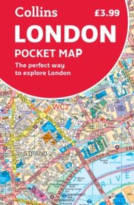
Handy little full colour map of central London with a high level of detail. Clear mapping from Regent's Park in the north to Kennington in the south, and Kensington Gardens in the west to Tower Bridge in the east at a scale of 1:12,500 (5 inches to 1 mile). Maps of West End shopping and theatres are also included.   Mapping is presented in a handy ...
7,95

Webshops met dit product

Webshop
Bezorging
Prijs

Klanten-reviews van Stadsplattegrond Pocket Map London Pocket Map | HarperCollins

Er zijn nog geen beoordelingen voor dit productBen jij de eerste die een review plaatst?

Meer over Stadsplattegrond Pocket Map London Pocket Map | HarperCollins

Productomschrijving

Handy little full colour map of central London with a high level of detail. Clear mapping from Regent's Park in the north to Kennington in the south, and Kensington Gardens in the west to Tower Bridge in the east at a scale of 1:12,500 (5 inches to 1 mile). Maps of West End shopping and theatres are also included.   Mapping is presented in a handy format ideal for the pocket or handbag. It is excellent value and covers the most visited area of central London. It is an essential buy for tourists and residents alike.   INCLUDES Detailed central area mapMap of theatres and cinemasShopping mapUnderground mapThe latest congestion zone boundary

Verken gerelateerde categorieën

Webshop.nl maakt gebruik van cookies. Ga je verder op onze website, ga dan akkoord met het plaatsen van cookies en de verwerking van deze data door ons en vermelde partners.