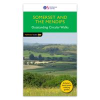
Wandelgids Somerset | Pocket Mountains Handige compacte wandelgids met 40 dagwandelingen. Deze gids bevat kleine kaartjes en leuke uitgebreide informatie over wat er langs de route te zien is. Goede wandelkaarten zijn echter wel aan te raden voor deze tochten: de Ordnance Survey explorer maps of Landranger maps zijn zeer geschikt. From the crumbly rhubarb-and-cream-coloured cliffs of the Jurassic Coast in the southeast to the surf-stroked craggy coves in the north, across the wilderness and woodland of Dartmoor and Exmoor, and through the verdant valleys and great green grazing lands of the dairy belt – Devon is a country of exquisite contrasts and natural wonder. Whether you’re looking for an easy afternoon stroll along the shore, a riverside ramble to an atmospheric country pub or a tor-topping trek on the moors, there’s something to suit every boot in Patrick Kinsella’s inspiring collection of 40 Devon walks. Plaatsen in het boekje Aisholt, Barle, River, Bath, Bathwick Hill, Bats Castle, Bishop’s Palace, Blagdon Hil…10,95
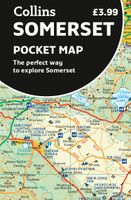
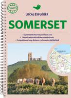
Wegenkaart - landkaart Pocket Map Somerset | Collins Explore new places with handy pocket maps from Collins. Handy little full-colour map of county of Somerset. Detailed mapping, photographs and tourist information. Famed for its cheddar cheese, cider, and apple orchards, Somerset has a distinct identity. Discover this unique area with this handy pocket map. Main features of this map include: Clear mapping at a scale of 2.3 miles to 1 inch / 1.5 km to 1 cmMain tourist attractions located and describedIdeal for touring with sights, places to stay, cafe/restaurant, golf courses, things to do all on the mapEssential travel informationIndex to places of interest and place names Essential for those planning a trip around Somerset.7,95
Reisgids Bath, Bristol & Somerset | Rough Guides Zeer goede reisgids voor zowel de georganiseerde maar vooral voor de zelfstandige reiziger. Boordevol informatie over reizen, slapen, eten, maar ook musea en cultuur. Voor Europese landen meestal completer en beter dan de Lonely Planet ! This Bath, Bristol & Somerset guidebook is perfect for independent travellers planning a longer trip. It features all of the must-see sights and a wide range of off-the-beaten-track places. It also provides detailed practical information on preparing for a trip and what to do on the ground. And this Bath, Bristol & Somerset travel guidebook is printed on paper from responsible sources, and verified to meet the FSC's strict environmental and social standards. This Bath, Bristol & Somerset guidebook covers: Bath and around, Bristol and around, Wells and the Mendips, Glastonbury and the Somerset Levels, South Somerset, Taunton, Bridgwater and the Quantocks; The coast, Exmoor, East Somerset, Salisbury and Stonehenge. Inside this Bath, Bristol & Somer…23,95
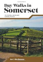
Wandelgids Day Walks in Somerset | Vertebrate Publishing Day Walks in Somerset features 20 routes between 7 and 15 miles (11km and 24km) in length, spread across the county of Somerset, including the Exmoor National Park. Researched and written by experienced and local authors Jen and Sim Benson, the walks range from gentle rambles to more challenging day walks, all through interesting and varied landscapes. Split into five sections – Exmoor; Quantock Hills & Blackdown Hills; Somerset Levels; Mendip Hills; and Bath & North East Somerset – this guidebook explores the best that Somerset has to offer. Together with stunning photography, each route features Ordnance Survey 1:25,000 maps, easy-to-follow directions, details of distance and navigation information, and refreshment stops and local information.20,95