Zeer goede reisgids voor zowel de georganiseerde maar vooral voor de zelfstandige reiziger. Boordevol informatie over reizen, slapen, eten, maar ook musea en cultuur. Voor veel landen meestal completer en beter dan de Lonely Planet !
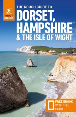
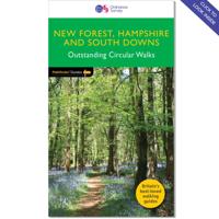
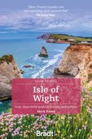
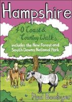
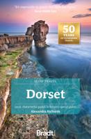
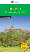
This Dorset, Hampshire & the Isle of Wight guidebook is perfect for independent travellers planning a longer trip. It features all of the must-see sights and a wide range of off-the-beaten-track places. It also provides detailed practical information on preparing for a trip and what to do on the ground. And this Dorset, Hampshire & the Isle of Wight travel guidebook is printed on paper from responsible sources, and verified to meet the FSC's strict environmental and social standards. This Dorset, Hampshire & the Isle of Wight guidebook covers: Bournemouth and Poole, the Isle of Purbeck, Central Dorset, Western Dorset, East Dorset and the Avon Valley, the New Forest, Winchester and Northern Hampshire, Southampton, Portsmouth and around, the Isle of Wight. Inside this Dorset, Hampshire & the Isle of Wight travel book, you'll find: - A wide range of sights - Rough Guides experts have hand-picked places for travellers with different needs and desires: off-the-beaten-track adventures, family activities or chilled-out breaks - Itinerary examples - created for different time frames or types of trip - Practical information - how to get to Dorset, Hampshire & the Isle of Wight, all about public transport, food and drink, shopping, travelling with children, sports and outdoor activities, tips for travellers with disabilities and more - Author picks and things not to miss in Dorset, Hampshire & the Isle of Wight - Durdle Door, Paddle boarding in Poole harbour, Highclere Castle, New Forest ponies, Cycle the South Downs Way, HMS Victory, Winchester Cathedral, Corfe Castle, Walk the South West Coast Path, Lymington, Walk to Tyneham village, Bournemouth Beach, The Needles, pint at the Square and Compass - Insider recommendations - tips on how to beat the crowds, save time and money, and find the best local spots - When to go to Dorset, Hampshire & the Isle of Wight - high season, low season, climate information and festivals - Where to go - a clear introduction to Dorset, Hampshire & the Isle of Wight with key places and a handy overview - Extensive coverage of regions, places and experiences - regional highlights, sights and places for different types of travellers, with experiences matching different needs - Places to eat, drink and stay - hand-picked restaurants, cafes, bars and hotels - Practical info at each site - hours of operation, websites, transit tips, charges - Colour-coded mapping - with keys and legends listing sites categorised as highlights, eating, accommodation, shopping, drinking and nightlife - Background information for connoisseurs - history, culture, art, architecture, film, books, religion, diversity - Free download of the eBook - available after purchase of the printed guidebook to Dorset, Hampshire & the Isle of Wight - Fully updated post-COVID-19 The guide provides a comprehensive and rich selection of places to see and things to do in Dorset, Hampshire & the Isle of Wight, as well as great planning tools. It's the perfect companion, both ahead of your trip and on the ground.
