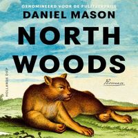
North Woods

0
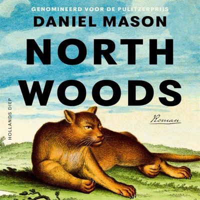
Een aangrijpende roman over een vrijstaand huis in de bossen van New England, verteld aan de hand van de levens van hen die er in de loop der eeuwen hebben gewoond - een gedurfd, meeslepend verhaal over herinneringen en noodlot....

Verkopers met dit product

Verkoper
Bezorging
Prijs

Anderen bekeken ook

Wegenkaart - landkaart 8 Road Map Britain North of England & Scottish Borders | AA Publishing
Goede dubbelzijdige wegenkaart met plaatsnamenindex van het noorden van Engeland en het zuiden van Schotland. Grof geschetst is het een rechthoek tussen Motherwell, Berwick-upon-Tweed, Middlesbrough en Kendal. Inclusief Isle of Man. Britain’s clearest mapping from the experts at the AA, in a handy foldable map. Fully updated, this map of North England & Scottish Borders combines clear design and an easy-to-read scale with more road detail to ensure that you never lose your way. The map includes information on toll points, service areas, road numbers, motorways, dual carriageways and wide and narrow local roads. National Parks, and places of interest are also highlighted. Caravan and camping sites pinpointed on the mapping. City and town plans Easy-to-read place index name. Part of a range of 9 regional sheet maps plus 1 map covering the whole of Britain. Map Series - 1 West Country & Wales. 2 Central Southern England. 3 South East England. 4 East Anglia. 5 Midlands & Central England. …
10,95
Wandelgids North Cornwall Coast | Northern Eye Books
Bude to Land’s End The ten walking routes featured here highlight the best short circular walks along the North Cornwall Coast section of the popular, 630-mile long South West Coast Path (SWCP).   From Bude to the western-most tip of England at Land’s End, Cornwall’s northern coast has a character all its own. Much of its 140 miles is set against the open Atlantic, whose winter storms and thundering waves have sculpted a rugged coastline of formidable cliffs.   Tiny, wave-washed coves and zawns contrast expansive beaches and dunes, the wild scenery often spilling offshore to half submerged reefs, stacks and rocky islands.   The holiday resorts of St Ives and Newquay can attract summer crowds, but elsewhere, the coast is often deserted, with only birds for company and the delights of nature as distractions.   The five-book series of ‘Top Ten Walks’ covers the whole of the UK’s famous South West Coast Path. Each book explores the highlights along the way; showcasing its natural beauty, …
10,95
Spoorwegenkaart England North and Central Rail and Road | ITMB
This is a new title for ITMB, and continues our expanded coverage of the United Kingdom. Many publishers carry a map of Great Britain (or of the UK), and a few might have one just for England and Wales. We travel extensively through Britain and usually find such maps too generalized for usability. All parts of the UK seem to be blessed with interesting places for a visitor to explore – parish churches, cathedrals, fortresses or castle ruins, market towns, lavish country estates, fabulous gardens, seaside resort towns – the list is endless. The only way to show tertiary-level roads leading to interesting tiny villages with fascinating names, and to portray the wealth of attractions available for the visitor is to divide the UK into logical units, which we did earlier with south East and South West England and now continue to the Scottish border with this map. Coverage is from Birmingham/Peterborough north to York on side one and from Lancaster north to the Scottish border at Berwick-up…
13,95
Wandelgids North York Moors | Pocket Mountains
Handige compacte wandelgids met 40 dagwandelingen. Deze gids bevat kleine kaartjes en leuke uitgebreide informatie over wat er langs de route te zien is. Goede wandelkaarten zijn echter we noodzakelijk voor deze tochten: de Ordnance Survey explorer maps of Landanger maps zijn zeer geschikt.   Designated a national park in 1952, the North York Moors include the largest area of heather upland in England, rising from the Vale of York and continuing to the North Sea coast where dramatic cliffs expose the geology that shaped this unique environment. This guide features 40 coast and country walks that take in the very best the moors have to offer - tranquil dales, stunning coastline, ancient woodlands, charming moorland villages and spectacular ruined castles and monasteries - as well as one of the UK's best heritage railways.
10,95
Wandelkaart Pennine Way North | Harvey Maps
Mooie, duidelijke kaart van het Noordelijke gedeelte van de Pennine Way (Middleton-in-Teesdale naar Kirk Yetholm). The whole of the Pennine Way on just 2 maps!   Pennine Way North map covers the route from Middleton-in-Teesdale to Kirk Yetholm.   The Pennine Way is a National Trail. It follows the backbone of England from the Peak District to the Scottish borders. It is one of the toughest UK long distance footpaths, and forms part of the European Footpath Network.   The Pennine Way was Britain's first National Trail, opened in 1965.   Just 2 HARVEY maps cover the whole 431km (268 miles) route. Each starts and finishes near public transport, so no hassle with getting lifts.   Each map also contains lots of information and useful telephone numbers to assist the walker with planning.   Tough, light, durable and 100% waterproof Includes Rights of Way Genuine original HARVEY mapping Route clearly marked  
28,50
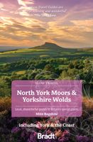
Reisgids Slow Travel North York Moors - Yorkshire Wolds | Bradt Travel Guides
Een bijzondere serie van Bradt guides, waarin een gedeelte van Engeland of Schotland uitgebreid beschreven wordt. Met veel aandacht voor kleine details die je niet al gauw elders zult vinden. Naast de beschrijvende informatie vind je ook een schat aan praktische informatie als accommodatie-adressen of leuke pubs. Een aanrader! Yorkshire resident, outdoors enthusiast and travel writer Mike Bagshaw has thoroughly updated this new third edition of Bradt’s North York Moors & Yorkshire Wolds, part of Bradt’s award-winning series of Slow travel series of guides to UK regions. It remains the only standalone guide to this region of contrasts. Walkers, cyclists, wildlife-lovers, families, foodies and culture vultures will find everything they need to plan and enjoy time here.   From magnificent cliffs and beaches along Yorkshire’s Heritage Coast and rolling hills in the North York Moors (one of the original nine National Parks of England and Wales) to the Wolds’ tranquil chalk grasslands, t…
22,50
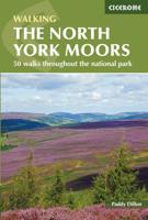
Wandelgids The North York Moors | Cicerone
Uitstekende wandelgids van dit geweldige gebied. Goed beschreven met veel praktische informatie om de routes te kunnen lopen, inclusief redelijke kaarten. Guidebook to 50 walks in the North York Moors National Park. The walks, which range from 4 to 13 miles, are distributed through seven regions within the park, enabling walkers to discover and appreciate the Tabular Hills, Hambleton Hills, Cleveland Hills, Northern Moors, High Moors, Eastern Moors and Cleveland Coast. For those who like a challenge, the course of the classic Lyke Wake Walk, crossing the national park from east to west, is also described.   For each walk (most of which are circular), step-by-step route description is accompanied by extracts of OS mapping. Points of interest are highlighted, and background information provided, detailing the history and industry of the area. The guidebook also includes planning and preparation details such as when to go, where to stay, and how to get around using public transport.   Co…
18,50
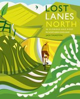
Fietsgids Lost Lanes North | Wild Things Publishing
Jack Thurston, best-selling author of the Lost Lanes series (50,000 sold) and presenter of the Bike Show, takes you on a freewheeling tour of the lost lanes and forgotten byways of Northern England - Yorkshire, Cumbria, Durham, Northumberland and Lancashire. Ride sections of the legendary Tour de Yorkshire, discovering castles and forts. Ride traffic free paths along the River Wharfe and Swale stopping for river swims and picnics in sun-dappled woodlands. Climb to the windswept heights of the Yorkshire Dales and Pennines. Discover car-free routes through the grand forests of Northumberland and Bowland. Including beautiful photography, this is the perfect gift for the armchair traveller and cycling adventurer. With downloadable GPX and route guides, and detailed maps, it is highly practical too. Rides graded from easy to challenging, with best pubs and tea stops, wild swims, finest viewpoints and accommodation too.
23,95

Klanten-reviews van North Woods

Er zijn nog geen beoordelingen voor dit productBen jij de eerste die een review plaatst?

Meer over North Woods

Productomschrijving

Een aangrijpende roman over een vrijstaand huis in de bossen van New England, verteld aan de hand van de levens van hen die er in de loop der eeuwen hebben gewoond - een gedurfd, meeslepend verhaal over herinneringen en noodlot.

Productinformatie

    Productspecificaties

    Artikelnummer(s)
    EAN
    9789048869305
    Webshop.nl maakt gebruik van cookies. Ga je verder op onze website, ga dan akkoord met het plaatsen van cookies en de verwerking van deze data door ons en vermelde partners.