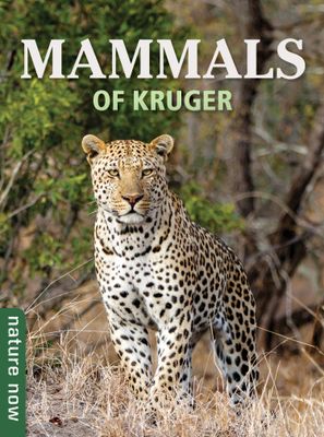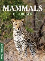
Natuurgids Nature Now Mammals of Kruger | Struik Nature
Deze makkelijk te lezen, feitelijk gevulde gids beschikt over meer dan 80 zoogdiersoorten die te vinden zijn in het Kruger Nationaal Park, een van Afrika's meest populaire bestemmingen voor het spotten van wild. Boordevol prachtige foto's en boeiende teksten, biedt het beknopte tips voor accurate identificatie en belicht het de meest interessante feiten over elke soort. Wist je dat luipaarden gevaarlijker zijn dan leeuwen, olifanten hun slurf gebruiken om te snorkelen, giraffes staand bevallen en geen twee zebra's hetzelfde strepenpatroon hebben? Deze compacte gids is gericht op natuurliefhebbers van alle leeftijden en: Omvat de rijke diversiteit aan zoogdieren van het park - van de wereldberoemde Big Five tot de miniatuur mangoesten die je ziet wegschieten over de weg Ontvouwt de meest interessante kenmerken en gedragingen van elk dier Vermeldt de recordhouders: wie heeft de langste hoorns, sterkste kaken of grootste eetlust? Geeft tips voor het spotten van wild voor succesvo…
16,50

