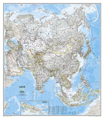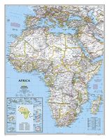
Magneetbord Azië, politiek, 84 x 96 cm | National Geographic
Mooie wandkaart van Azië, staatkundig, met rustig kleurgebruik en helder kaartbeeld, Ondanks het wat kleiner formaat staan er toch heel wat topografische details op vermeld. De kaart wordt in deze versie gelijmd op een plaat, voorzien van een mooie aluminium lijst en een ophangsysteem wordt meegeleverd. Daarnaast krijgt u een bakje bijgeleverd dat u er aan kunt bevestigen voor pennen, stiften of magneetjes. The map presents Asia at 1: 13,8120,000. Coverage includes the whole of the European part of Russia, extending up to the North Pole. In the south-east the island of New Guinea and the Bismarck Archipelago are shown as an inset. The base map has relief shading to show the continent’s topography, with additional graphics indicating deserts, swamps, glaciers, etc. The map shows the names of the numerous geographic features such as mountain ranges, deserts, peaks etc. Heights are given in feet. Country boundaries are in different colours and, where appropriate, disputed boundar…
249,-

