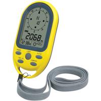
Techno Line EA 3050 Hoogtemeter
Hoogwaardige digitale hoogtemeter met barometer en kompas in één. Tevens worden tijd, datum en we...
Conrad NL 3.5
37,99
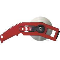
BMI 501311030A Rolmaat 30 m Staal
Conrad NL 3.5
57,99
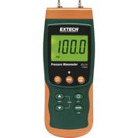
Extech SDL730 Gasdrukmeter Druk -7000 - +7000 mbar
De SDL730 is een verschildrukmanometer voor het hoge bereik. Meten en registreren van meetwaarden...
Conrad NL 3.5
525,-
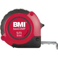
BMI twoCOMP 472841021 Rolmaat 8 m Staal
Conrad NL 3.5
20,99
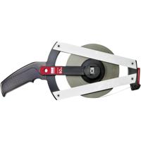
BMI 501024050A Rolmaat 50 m Staal
Conrad NL 3.5
109,99
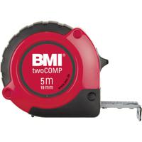
BMI twoComp 472341021 Rolmaat 3 m Staal
Conrad NL 3.5
10,99
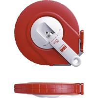
BMI 505234030B Rolmaat 30 m Staal
Conrad NL 3.5
65,99
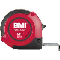
BMI twoCOMP 472541021M Rolmaat 5 m Staal
Conrad NL 3.5
16,99
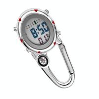
Mountain Climbing Watch Multifunctionele Stainless Steel Hook Watch (Rood)
1. Gewicht: 55 gram2. Grootte: Lengte is 75mm dikte is 12mm meterdiameter is 40mm kompasdiameter ...
i-Mania.nl 1.4
22,71
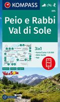
Wandelkaart 095 Peio e Rabbi - Val di Sole | Kompass
Goede wandelkaart met vrijwel alle topografische details als hoogtelijnen, vegetatie, schaduwtek...
DeZwerver.nl 4.1
14,95
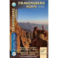
Wandelkaart 1&2 South Africa: Drakensberg North | Slingsby Maps
DRAKENSBERG NORTH: This doublesided A1-sized map is the first of three maps in the latest editio...
DeZwerver.nl 4.1
29,95
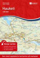
Wandelkaart - Topografische kaart 10024 Norge Serien Haukeli | Nordeca
Een compleet nieuwe serie topografische kaarten voor Noorwegen 1:50 000. Het heeft een moderne c...
DeZwerver.nl 4.1
31,95
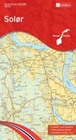
Wandelkaart - Topografische kaart 10043 Norge Serien Solør | Nordeca
Een compleet nieuwe serie topografische kaarten voor Noorwegen 1:50 000. Het heeft een moderne c...
DeZwerver.nl 4.1
31,95
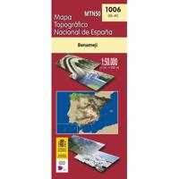
Topografische kaart 1006 MT50 Benamejí | CNIG - Instituto Geográfico Nacional
DeZwerver.nl 4.1
7,95
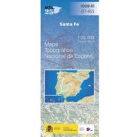
Topografische kaart 1009-III Santa Fé | CNIG - Instituto Geográfico Nacional
DeZwerver.nl 4.1
7,95
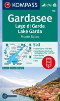
Wandelkaart 102 Gardasee - Lago di Garda - Lake Garda | Kompass
Goede wandelkaart van omgeving Gardameer met vrijwel alle topografische details als hoogtelijnen...
DeZwerver.nl 4.1
16,95
Topografische kaart 1029-IV Alboloduy | CNIG - Instituto Geográfico Nacional1
DeZwerver.nl 4.1
7,95
Topografische kaart 1035-I La Harinosa | CNIG - Instituto Geográfico Nacional1
DeZwerver.nl 4.1
7,95
Topografische kaart 1037-III Alcalá del Valle | CNIG - Instituto Geográfico Nacional1
DeZwerver.nl 4.1
7,95
Topografische kaart 1038 MT50 Ardales | CNIG - Instituto Geográfico Nacional1
DeZwerver.nl 4.1
7,95
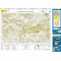
Topografische kaart 1039-I Villanueva del Rosario | CNIG - Instituto Geográfico Nacional1
DeZwerver.nl 4.1
7,95
Topografische kaart 1041 MT50 Dúrcal | CNIG - Instituto Geográfico Nacional
DeZwerver.nl 4.1
7,95

Topografische kaart 1042 MT50 Lanjarón | CNIG - Instituto Geográfico Nacional
DeZwerver.nl 4.1
7,95
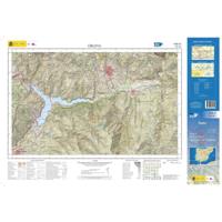
Topografische kaart 1042-III Órgiva | CNIG - Instituto Geográfico Nacional1
DeZwerver.nl 4.1
7,95
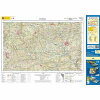
Topografische kaart 1043-I Ugíjar | CNIG - Instituto Geográfico Nacional1
DeZwerver.nl 4.1
7,95
Topografische kaart 1043-II Láujar de Andarax | CNIG - Instituto Geográfico Nacional1
DeZwerver.nl 4.1
7,95
Topografische kaart 1045-IV El Alquián | CNIG - Instituto Geográfico Nacional
DeZwerver.nl 4.1
7,95
Wandelkaart - Topografische kaart 105 OS Explorer Map Falmouth & Mevagissey | Ordnance Survey
Met zijn 4cm voor 1 km (2 ½ cm voor 1 mijl) schaal, is de OS Explorer kaartenserie de ideale en ...
DeZwerver.nl 4.1
19,50
Wandelkaart 105 Sestriere, Claviere, Sansicario, Prali | IGC - Istituto Geografico Centrale
IGC heeft een serie gedetailleerde wandelkaarten voor het Italiaanse gedeelte van de Maritieme A...
DeZwerver.nl 4.1
14,95
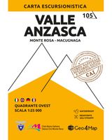
Wandelkaart 105 Valle Anzasca - Monte Rosa - Macugnaga | Geo4Map
Gedetailleerde wandelkaart van een deel van het bergmassief van de Monte Rosa en de uitlopers da...
DeZwerver.nl 4.1
16,95
1 - 30 van 3919
