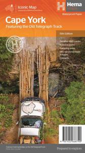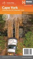
Wegenkaart - landkaart Iconic Map Cape York - Australia | Hema Maps
Detailkaart van een deel van Australië. Zeer goed leesbaar, met naast de topografische details veel symbolen waarmee allerhande toeristische zaken worden aangeduid als campsites, nationale parken, attracties, wandelmogelijkheden etc. Hema’s latest edition of its iconic Cape York map, on durable waterproof paper, combines Hema’s entire database of roads and 4WD tracks with touring points of interest and topographic information. Also included are camping areas, national parks, accommodation and distances. It now features new inset maps for the CREB Track and Rinyirru (Lakefield) National Park as well as covering the full Old Telegraph Track. Key Features Detailed 4WD tracks National parks Camping areas GPS surveyed roads & tracks New inset maps for the CREB Track and Rinyirru (Lakefield) National Park Waterproof paper
15,95

