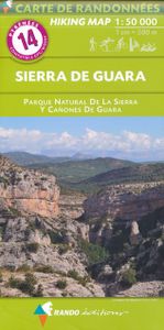
Wandelkaart 14 Sierra de Guara | Rando Editions
Uitstekende wandelkaart van Sierra de Guara met veel toeristische informatie en bijzonder gedetailleerd. Wandelroutes en hutten / campings zijn ingetekend, met hoogtelijnen. GPS Compatible IGN based cartography Topography shown by hill shading and contours Hiking and biking routes Refuges and other accommodation Tourist informations Road network GPS compatible La carte indispensable pour découvrir la Sierra de Guara et toutes ses activités outdoor : randonnée, canyoning, VTT… Un cadrage qui assure une couverture intégrale du massif de la Sierra de Guara (Sobrarbe, Somontano, Hoya de Huesca). Une approche routière facilitée depuis Sabinanigo (Port de Monrepos) et Ainsa au nord, depuis Huesca et Abiego au sud, et figurant l'A23 à l'ouest à l'A138 à l'est. Toutes les informations sur les itinéraires d'activités outdoor du moment (canyoning, randonnée, VTT) : • pour le canyoning, sont figurés principaux parkings, accès et sorties des rios (Guatizalema, Formiga, Alcanadre, Mascu…
16,50

